Land Use and Land Cover (LULC) Classification using Deep Learning
Land Use and Land Cover (LULC) Classification using Deep Learning
Project Overview
Project Impact
Key results and achievements from this initiative
90%
CNN
0.85
Accuracy
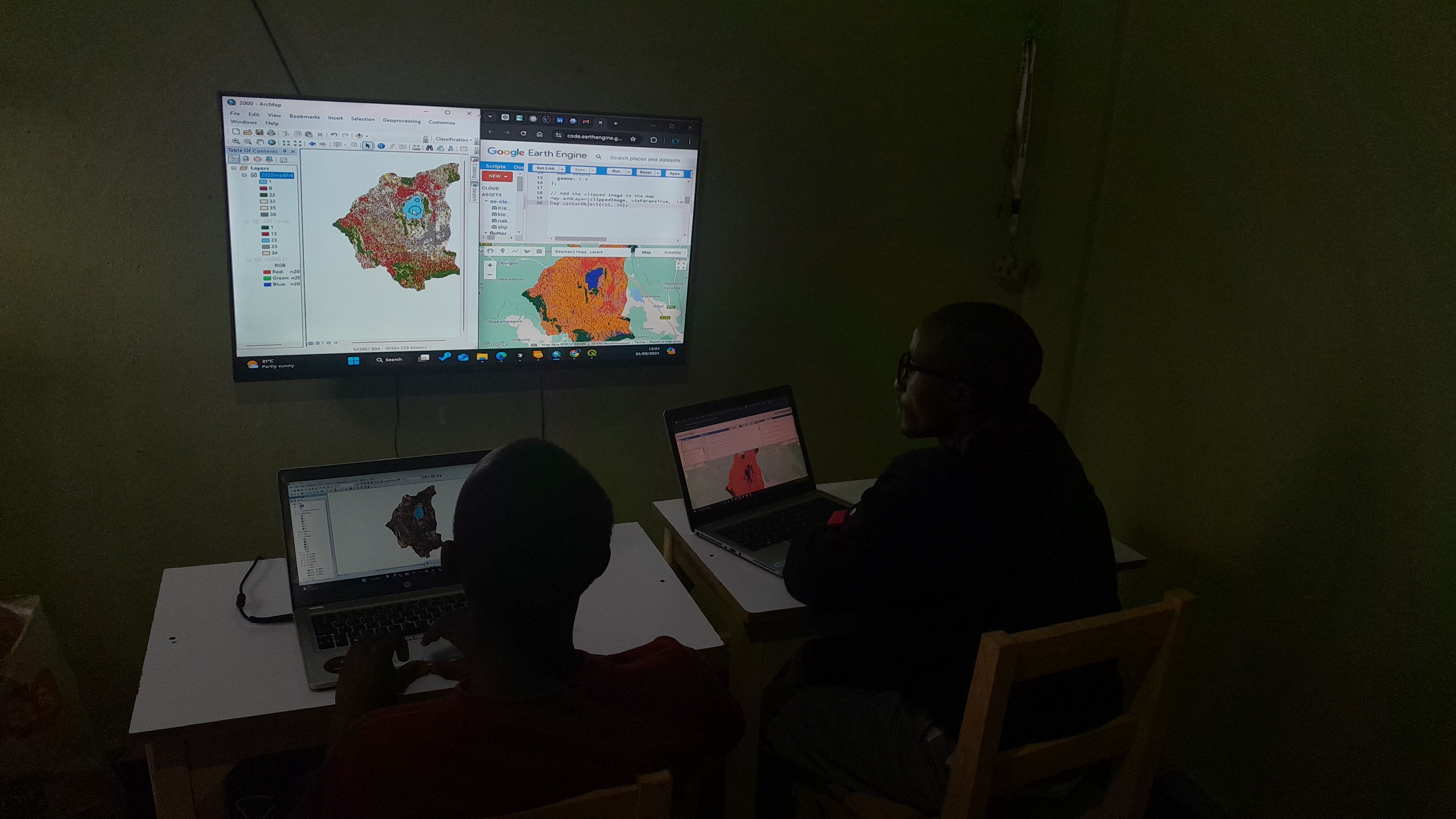
Our team built a convolutional neural network (CNN)-based model to automate land cover mapping across Kenya using satellite imagery.
This model delivers high-resolution, near-real-time maps that assist planners, conservationists, and investors in understanding spatial trends such as urban expansion, deforestation, and agricultural intensification.
Impact: Reduced manual classification time from weeks to hours, increasing mapping efficiency for partner institutions and environmental agencies.
Project Partners
SpatioNEX
Ready to Start Your Project?
Let's discuss how we can apply our geospatial intelligence expertise to your environmental monitoring and climate resilience challenges.