ML-Driven Forest Ecosystem Intelligence Platform
WebGIS powered by AI and remote sensing for automated forest analysis quantifying biomass, carbon storage, and supporting climate-smart decisions.
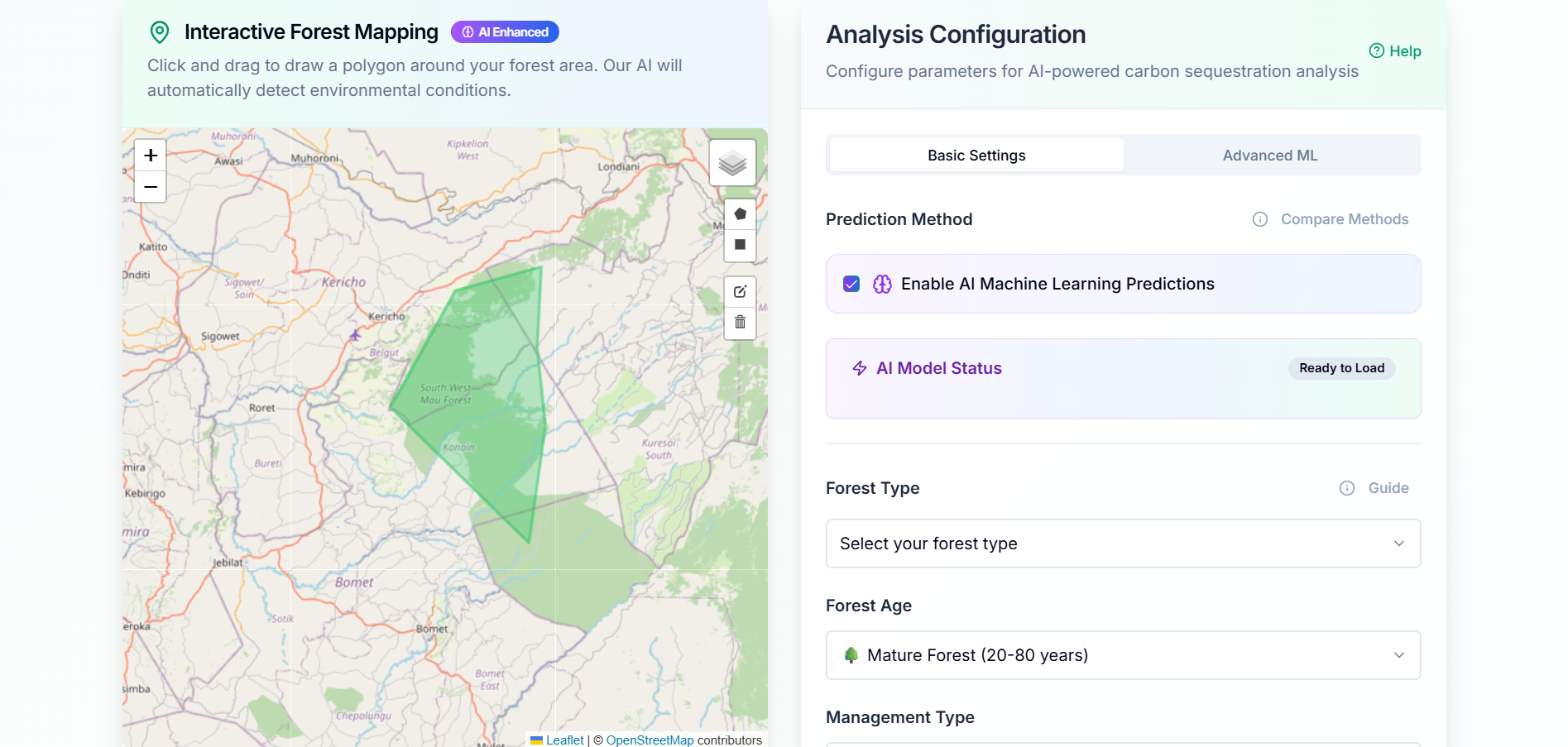
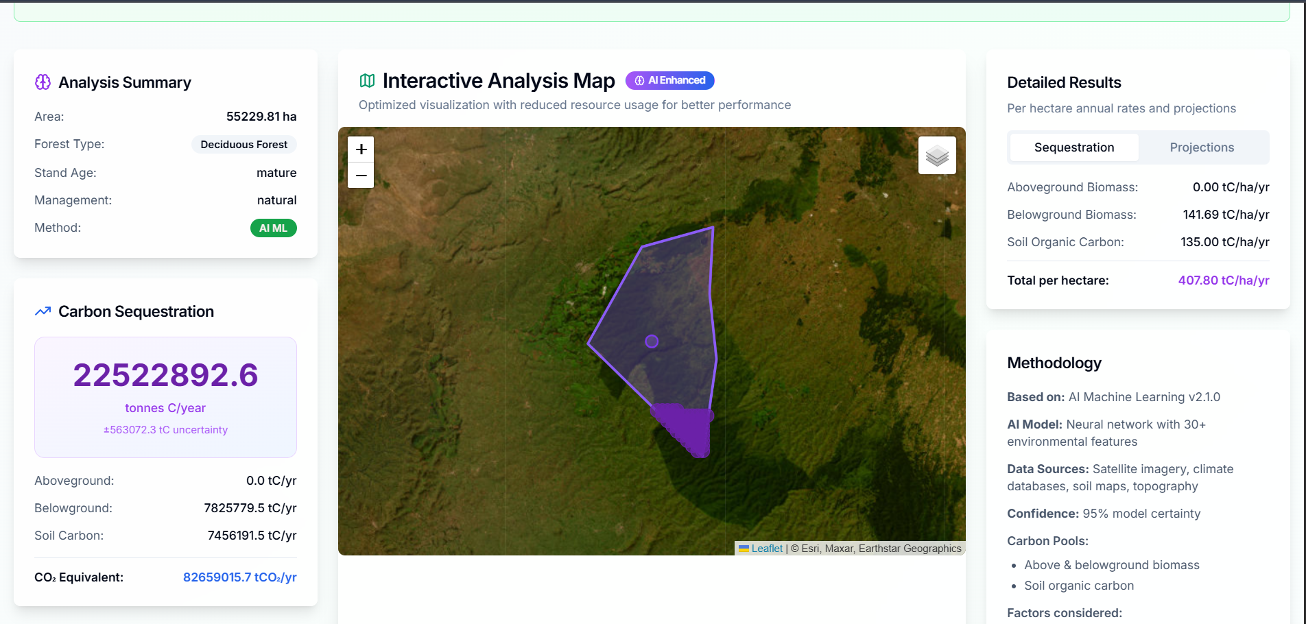
The Forest Ecosystem Intelligence Platform is an AI-powered WebGIS solution designed to support forest monitoring, biomass estimation, carbon accounting, and climate-smart environmental decision-making.
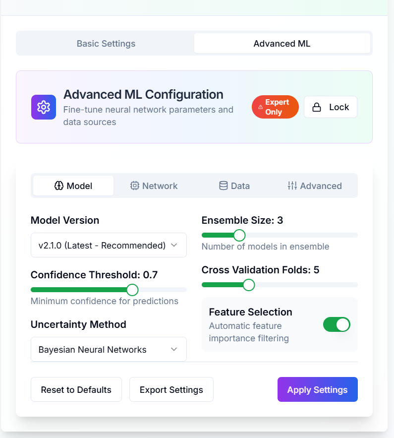
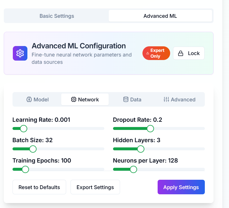
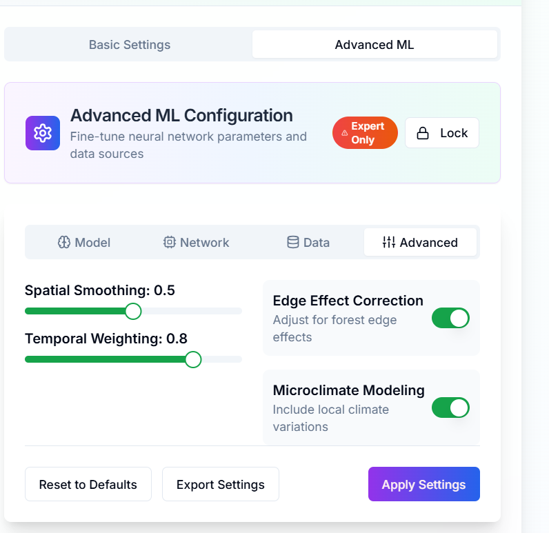
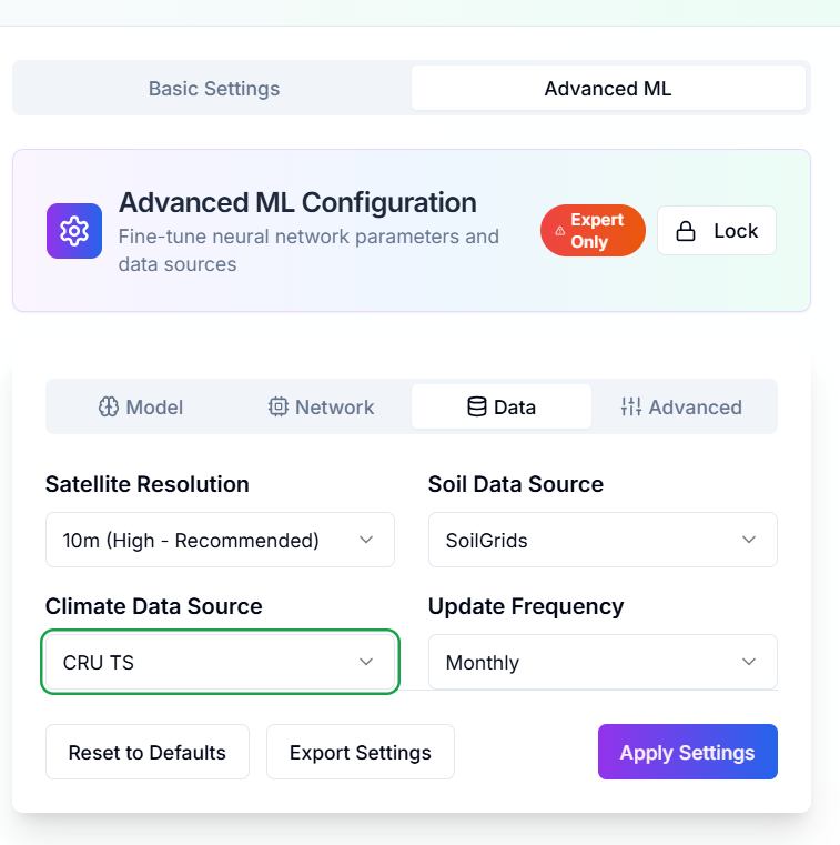
The platform integrates satellite imagery, LiDAR observations, machine learning, and geospatial analytics into a unified digital environment that enables rapid assessment of forest ecosystem conditions.
Core capabilities include:
- Forest biomass estimation
- Carbon stock assessment
- Vegetation health monitoring
- Remote sensing analytics
- Interactive WebGIS visualization
- Automated environmental reporting
- Spatial decision-support tools
By combining Earth Observation and artificial intelligence, the platform provides a scalable framework for forest management, conservation planning, and climate resilience initiatives.
Ready to Start Your Project?
Let's discuss how we can apply our geospatial intelligence expertise to your environmental monitoring and climate resilience challenges.